Case Studies by Location

  • All
  • Alabama
  • Arkansas
  • California
  • Canada
  • Delaware
  • Georgia
  • Louisiana
  • Massachusetts
  • Mississippi
  • New Jersey
  • New York
  • New Zealand
  • No Location
  • North Carolina
  • Norway
  • Oregon
  • Rhode Island
  • Texas
  • The Netherlands
  • Washington DC
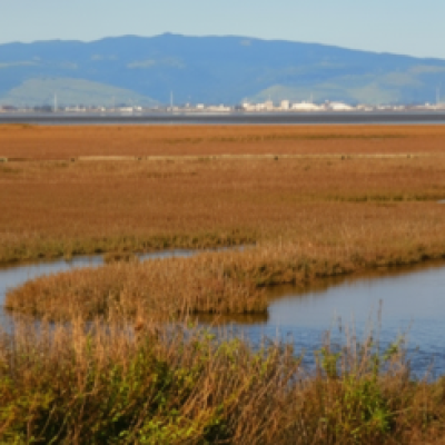
San Francisco Bay salt marsh with winding tidal channels through golden-brown vegetation, with hills and industrial development visible in the distance.

San Francisco Bay

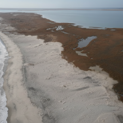
Aerial view of Cedar Island, North Carolina, showing a sandy shoreline between ocean waves and expansive brown coastal marsh with winding tidal channels.

North Carolina Reserve

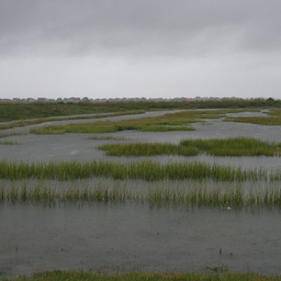
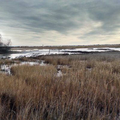
Coastal salt marsh with shallow pools of water, low grasses, and exposed wetland areas beneath a cloudy sky.

Ninigret Pond

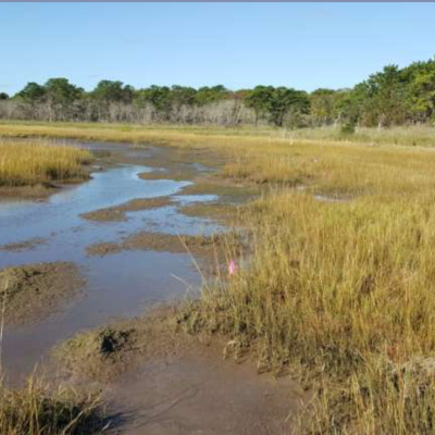
Winding tidal creek flows through a broad golden salt marsh bordered by trees beneath a clear blue sky.

Waquoit Pond

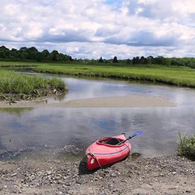
Red kayak rests at the edge of a tidal creek surrounded by dense green marsh vegetation.

Narragansett Bay

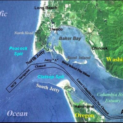
Map of the mouth of the Columbia River showing the navigation channel, North and South jetties, Baker Bay, Clatsop Spit, and nearby Washington and Oregon communities.

Mouth of the Columbia River

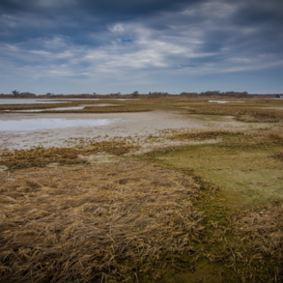
Coastal marsh with patches of emergent grasses separated by shallow open water under an overcast sky.

Pierce Marsh

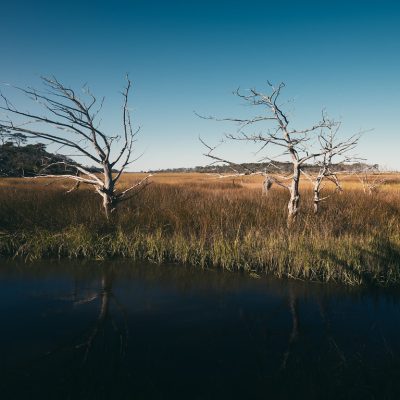
Leafless trees rise above dense marsh grasses beside a tidal creek under a clear blue sky.

Jekyll Creek

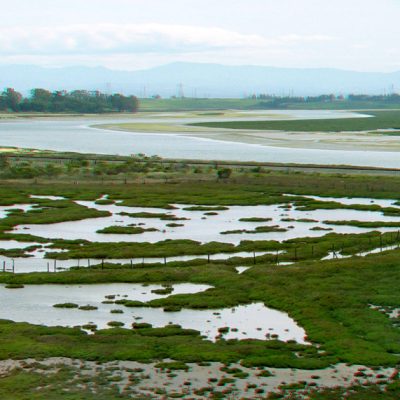
Expansive tidal marsh with winding waterways, shallow pools, and patches of vegetation, with distant hills on the horizon.

Elkhorn Slough

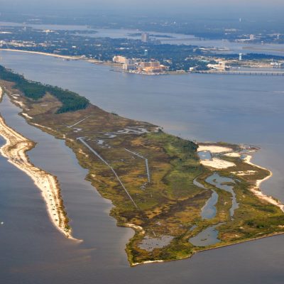
Aerial view of Deer Island showing marsh habitat, tidal channels, sandy shoreline, and surrounding coastal waters, with developed shoreline in the distance.

Deer Island

Sediment slurry is sprayed across a vegetated tidal marsh during thin layer placement operations.

Avalon

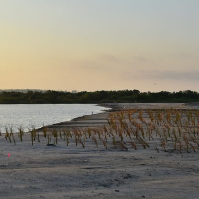
Newly planted marsh grasses grow in placed sediment along the shoreline at the Lightning Point restoration site.

Lightning Point

Aerial view of the Randle Reef project site along an industrial waterfront, with the U.S. Steel facility labeled in the background.

Randle Reef

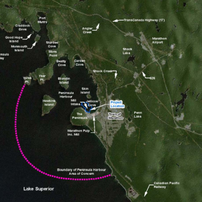
Satellite map of Peninsula Harbour and the Town of Marathon showing the project location, nearby islands and waterways, and the harbour boundary in Lake Superior.

Peninsula Harbour

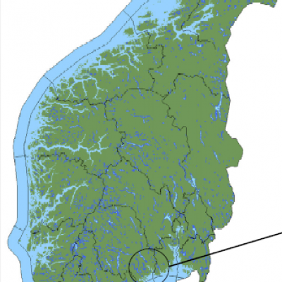
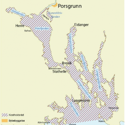
Map of southern Norway showing waterways and coastal areas, with the project location circled along the southeastern coast.

Ormefjorden and Eidangerfjorden

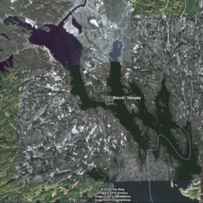
Satellite map of southern Norway showing the coastal landscape and waterways around Brevik, Norway, with the location marked near a narrow fjord.

Norway

Grenlandfjords

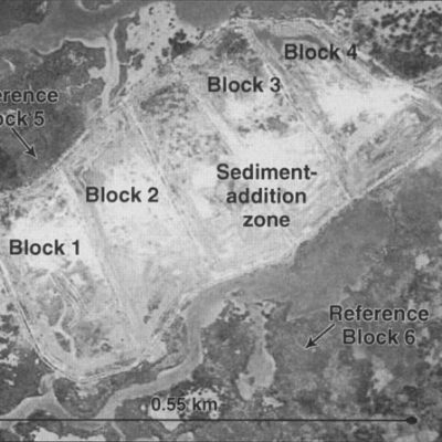
Grayscale aerial image of a wetland experiment showing a central sediment-addition zone divided into Blocks 1–4, with Reference Blocks 5 and 6 in adjacent marsh areas and a 0.55-kilometer scale bar.

Bayou Lafourche, LA

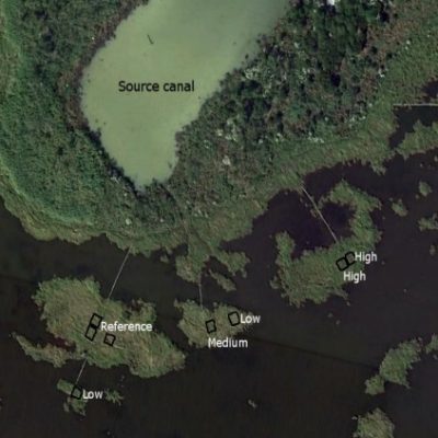
Aerial image of a coastal wetland experiment showing a source canal and multiple small study plots labeled reference, low, medium, and high, distributed among fragmented marsh vegetation and open water.

Paul J. Rainey Wildlife Sanctuary

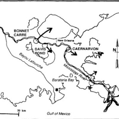
Map of southeastern Louisiana showing the Mississippi River, New Orleans, Barataria Bay, Bayou Lafourche, and the Gulf of Mexico, with locations labeled Bonnet Carré, Davis Pond, and Caernarvon and arrows indicating water diversions.

Barataria Basin, LA

Field crew working in a shallow, muddy marsh restoration area, with several people spaced across the flooded site planting or tending vegetation. Dense marsh grasses border the work area under a clear blue sky.

Prime Hook National Wildlife Refuge

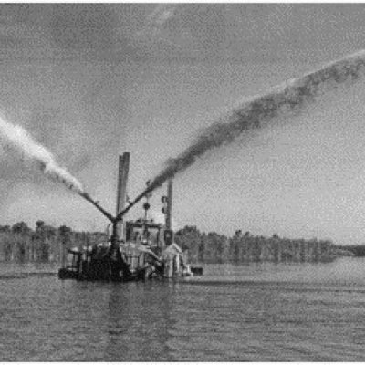
Black-and-white photograph of a floating sediment-placement vessel spraying two large arcs of slurry in opposite directions across a shallow wetland restoration area.

Northern Mississippi River Delta, LA

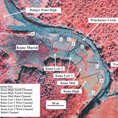
False-color aerial image of Kunz Marsh showing labeled monitoring sites, including Kunz High, Mid, Low 1 and Low 2, plus nearby Danger Point High and Tom’s Creek High. Lettered channels A–H and Winchester Creek are identified, with a north arrow and 50-meter scale.

South Slough National Estuarine Research Reserve
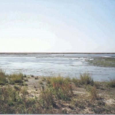
Broad, shallow coastal marsh with patches of open water, exposed sediment, and sparse wetland vegetation extending toward a flat horizon under a clear sky.

Commercial Township Salt Hay Farm

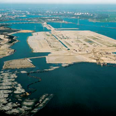
Aerial view of the IJburg land-reclamation project, showing a large expanse of newly placed sand forming artificial islands surrounded by water, with construction activity and developed urban areas visible in the distance.

IJburg Project

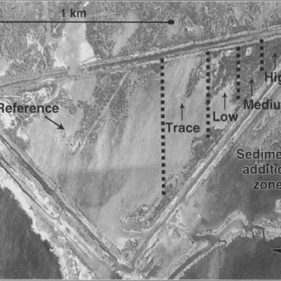
Grayscale aerial image of a coastal wetland study site showing a reference area and sediment-addition zones labeled trace, low, medium, and high, with a 1-kilometer scale and north arrow.

Southern Mississippi River Delta, LA

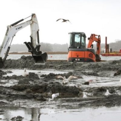
Excavators spread and grade sediment across a muddy, shallow-water marsh restoration site while gulls forage nearby; additional construction equipment operates from a barge in the background.

John H. Chafee National Wildlife Refuge
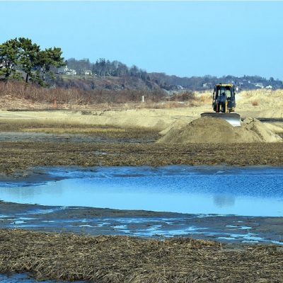
Bulldozer grading a mound of sediment on a coastal marsh restoration site, with shallow pools and exposed wetland vegetation in the foreground and dunes and homes in the distance.

Sachuest Point National Wildlife Refuge
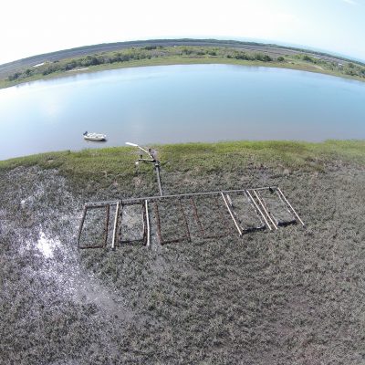
Aerial view of experimental plots arranged in rows across a tidal marsh beside a broad waterway, with a small boat near shore and monitoring equipment positioned among the plots.

Freeman Creek, NC

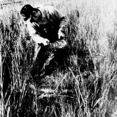
Black-and-white photograph of a person crouching among dense high salt marsh grasses while examining or handling material at the marsh surface.

High Salt Marsh in Georgia

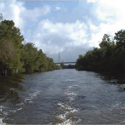
View along a broad, tree-lined waterway from a moving boat, with the vessel’s wake in the foreground and a bridge and transmission tower visible in the distance beneath a partly cloudy sky.

Bayou Segnette Waterway

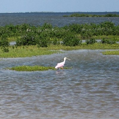
Shallow coastal wetland along the Galveston Gulf Intracoastal Waterway, with patches of green marsh vegetation and a roseate spoonbill wading in the foreground.

Galveston GIWW, Laguna Madre

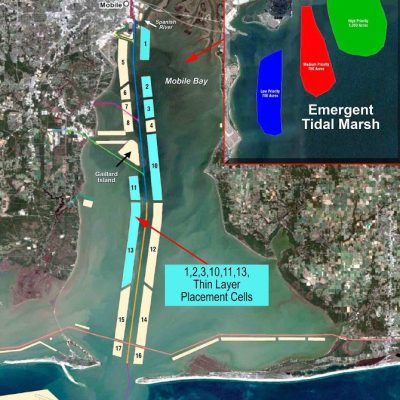
Mobile Bay

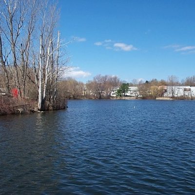
View across Silver Lake, with open blue water bordered by leafless trees and shoreline vegetation. Residential and industrial buildings are visible along the opposite shore beneath a clear blue sky.

Silver Lake

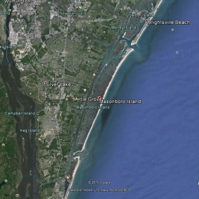
2015 Google Earth satellite image of the Wilmington, North Carolina, coast showing Masonboro Island, Wrightsville Beach, Silver Lake, and surrounding waterways, with the Atlantic Ocean to the east.

Masonboro Island

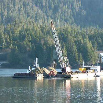
Marine construction operation at Ward Cove, with a crane mounted on a barge and piles of material or equipment on deck. Workboats and waterfront facilities sit along the shore beneath a densely forested hillside.

Ward Cove

Expansive salt marsh at Seal Beach, with dense green vegetation interwoven by winding tidal channels and shallow pools. Low buildings are visible along the distant horizon beneath a partly cloudy blue sky.

Seal Beach

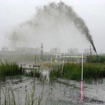
Sediment slurry is sprayed in a high arc across a shallow wetland at Pepper Creek, with marsh vegetation and monitoring stakes surrounding the placement area.

Pepper Creek

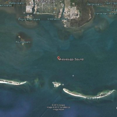
2015 Google Earth Satellite image of Mississippi Sound near Pascagoula, Mississippi, showing coastal islands including Round Island and Petit Bois Island, with the mainland and several smaller islands visible to the north.

Mississippi Sound

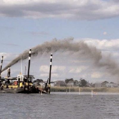
Sediment-placement equipment on a barge in Jamaica Bay sprays a high arc of slurry across a shallow marsh restoration area, with shoreline buildings visible in the distance.

Jamaica Bay

Aerial view of Gull Rock showing a broad marsh or sediment-covered area divided by narrow channels or berms, with open water along the lower edge and patches of vegetation in the distance.

Gull Rock

Historic photograph of a dredging or sediment-placement operation at Fowl River, showing a long pipeline or barge system extending across open water between work vessels and a pile of material.

Fowl River

2015 Google Earth Satellite image of Pine Harbour Marina and surrounding Beachlands, showing rows of docked boats along the coast, nearby residential neighborhoods, open fields, and a golf course.

Pine Harbour Marina

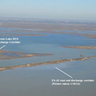
Aerial view of Galveston Bay and the Gulf Intracoastal Waterway West Bay, showing marsh islands and open water. Labels identify Greens Lake beneficial-use-site Discharge Corridor No. 6 and the PA 62 east-end discharge corridor.

Galveston GIWW Dredging West Bay

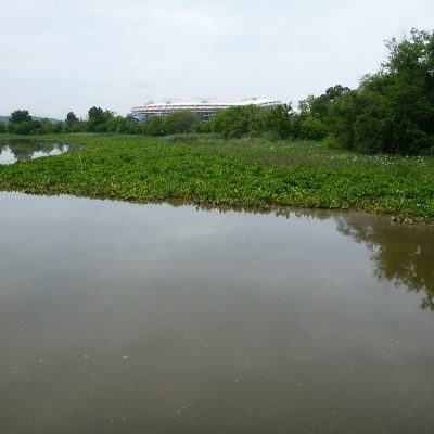
Anacostia River fringe wetland creation site showing calm shallow water bordered by dense aquatic and marsh vegetation, with trees along the shoreline and a large stadium visible in the distance.

Anacostia River Fringe Wetland Creation
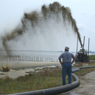
Sediment slurry is sprayed in a high arc from pumping equipment into a shallow wetland at Blackwater, while two workers in hard hats observe beside a large pipeline.

Blackwater National Wildlife Refuge Restoration